Samarkand 2


SAMARKAND
Samark h an
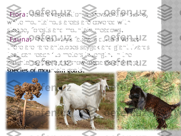
TABLE OF CONTENT History Geography Borders Industy Economy Administrative divisions Registan Mosque Climate Fauna & Flora
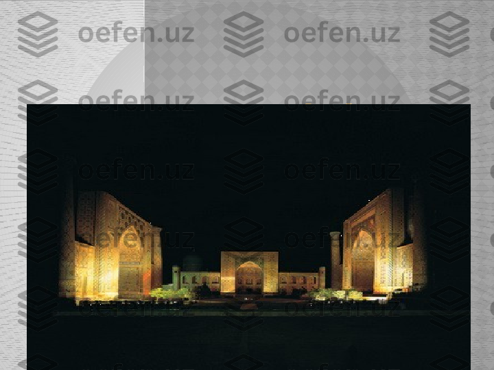
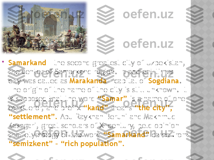
Samarkand – the second greatest city of Uzbekistan, the center of Samarkand region. In ancient times city was called as Marakanda – capital of Sogdiana . The origin of the name of the city is still unknown. It is supposed that the word “Samar” is a name of one conqueror, and prefix “kand” means “the city”, “settlement”. Abu-Raykhan Beruni and Makhmud Kashgari, great scholars of XI century, held opinion that etymology of the word “Samarkand” came from “semizkent” – “rich population”.
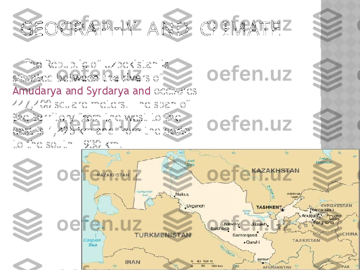
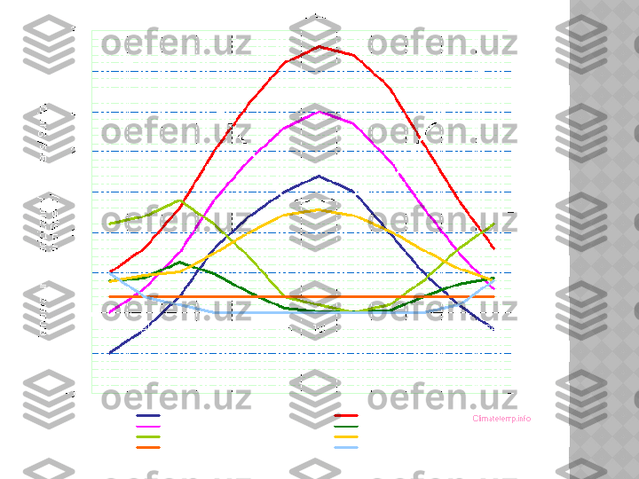
GEOGRA PHY A N D CLIMATE The Republic of Uzbekistan is situated between the rivers of Amudarya and Syrdarya and occupies 447,400 square meters. The span of the territory from the west to the east is 1,425 km and from the north to the south - 930 km.